|
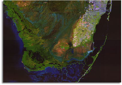
This satellite image map is one product of the
U.S. Geological
Survey's (USGS) Land
Characteristics from Remote Sensing project, funded through the USGS
Place-Based Studies Program with support from the
Everglades National
Park.
The objective of this project is to develop and apply
innovative remote sensing and geographic information system
techniques to map the distribution of vegetation, vegetation
characteristics, and related hydrologic variables through space and
over time. The mapping and description of vegetation characteristics
and their variations are necessary to accurately simulate surface
hydrology and other surface processes in South Florida and to monitor
land surface changes. As part of this research, data from many
airborne and satellite imaging systems have been georeferenced and
processed to facilitate data fusion and analysis. These image maps
were created using image fusion techniques developed as part of this
project. |